

We all heard and used at some point Google Earth, but little did we know this navigation app is one of the greatest examples of GIS applications. Perhaps, it’s time we finally defined it.
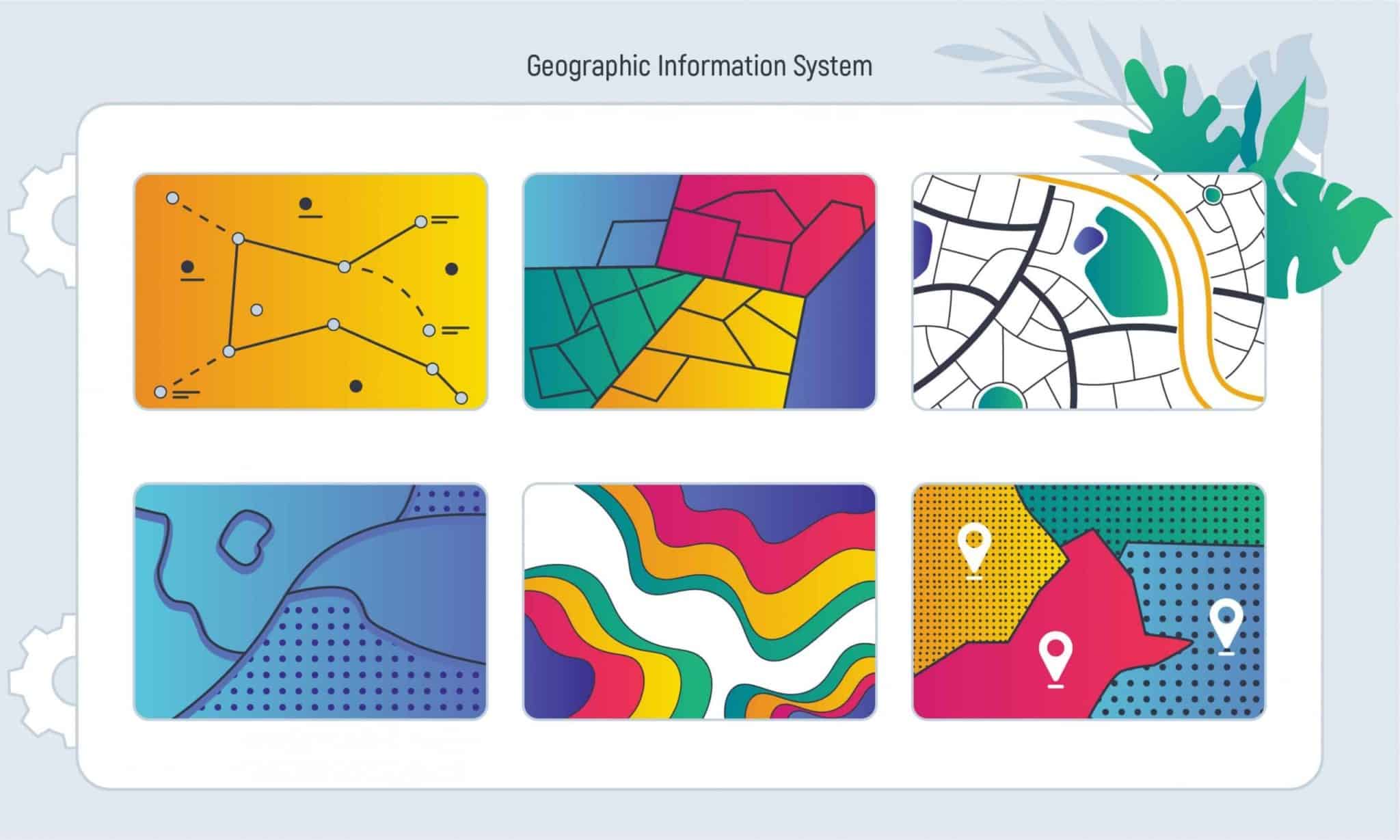
A geographic information system, or simply GIS, is a technology that allows us to gather, analyze and visualize all the geographic information and attribute data tied to a location on the surface of the earth. All the data can be combined with additional attributes — “layers” — that provide the relevant information. The peculiarity of the software is mapping the geographic data, which gives an opportunity to view all the captured and displayed data at a new angle.
We can spot GIS in a broad range of fields: land or sea navigation, marketing, agricultural, emergency response services and even crime prevention. Some might consider using GIS for property search, and they get an A plus! GIS real estate analysis is not an unknown but widely used feature that brings plenty of usefulness to the industry. In this article, we’ll take a look at GIS in the real estate industry, as well as the benefits of GIS technologies for real estate.


GIS in Real Estate: How and Why
Location is a crucial factor for estimating the state of the land for both GIS and real estate. GIS in real estate industry allows developers, investors, and other professionals to achieve valuable data — those might include the boundaries of the property, its quality, and geographic peculiarities of the land. For instance, to find a perfect property match for the client, people use GIS technologies in real estate to examine the land and obtain vital information about it. This practice can improve the efficiency of real estate agencies since it saves lots of time, thus — money.
But how does GIS for real estate actually work? One of the features GIS in real estate can provide is spatial analysis, which gives all the needed information about the property’s characteristics, especially its surroundings. Thanks to that, we have an entire picture of the neighborhood’s state, the presence of leisure facilities, shopping malls, information about routes to workplaces and universities, and even the level of possible flooding, earthquakes, and other unfortunate events. In other words, GIS makes it possible to meet all the expectations, depending on the set demand.

We may assume that all the gathered data is just random numbers and words that probably won’t make any sense to an average land buyer. Well, it most certainly is. Yet, the agencies will present it to their eyes in an apparent format — a map that manages to contain and visualize precise and needed information. It’s an interactive data layered map with different features, like the ability to add or erase diverse characteristics. This makes it easier for users to analyze specific areas in a way their hearts desire. They include such (not) obvious data layers:
- Location and addresses
- Settlement limits
- Zoning and overlay
- Zip codes
- Contour lines
- Accessible housing
- Opportunity zones
- Tax parcels
- Floodplain information
- Permits for constructions, etc.
t’s not overreacting when we say that GIS data in real estate plays a crucial role in understanding its market. Indeed, the combination of land information and maps helps observe the hidden processes from other perspectives. It shows what investment is more time and money worthy and what is most likely to fail. Before the start of the construction, we need to consider the area’s topography, population density, their income, and local regulations/restrictions to make the plan most suitable for it.
Everything you need to know about RETS standards for the real estate!
GIS software can come in handy while keeping an eye on competitors’ states on the market. It allows detecting their strong and weak spots and, naturally, making the right decision for your business. Geographic information systems in real estate also focus on attributes like property valuation. It also include brokerage services, real estate management, property taxation, state-owned assets management, etc.
Benefits of Using GIS in Real Estate Market
To convince ourselves even more about the necessity of this specific software, we will list some of the advantages of GIS in real estate.
Time saving
Research in real estate is a long-term process that some may consider unpleasant and a complete burden. In fact, gathering all the valuable data from different sources and checking its accuracy is required, so it’ll take some time one way or another. Here comes GIS that saves our time, nerves and money: we don’t have to visit different sites or even locations to get what we need since we have it right at our fingertips in a convenient map format. GIS real estate development makes it possible to analyze, compare and discover with only using a few clicks.
Pure accuracy
Who owns the information owns not only the world but also the trust of their clients (which is much more important within the real estate market). It’s quite easy to lose potential buyers within such a competitive industry since someone can have more accurate data than you. Don’t want to constantly worry about how valid the information about specific properties is? You need to consider this benefit of GIS technologies for real estate.
The system itself is constantly updated to show the most up-to-date data in the same formats, so the accuracy remains throughout its comparisons. GIS for the real estate market also helps to choose the best location, considering the aim of the project and different factors. You know, such as planning, zoning, possible risks, the quality of the land, etc. The right decisions about the location is the foundation of a successful and prosperous outcome.
Mobile access
Carrying your computer everywhere might feel like another thing to worry about: that’s where GIS applications in real estate come in handy. Since mobiles have become an integral part of humans’ existence in the XXI century, it’s more convenient for real estate agents and developers to have access to the mapping systems even when they are far away from their workplaces. That’s how they would be ready to resolve some instant issues with clients here and there.

Discover more: Features of property management software you should consider!
Communication improvement
The importance of adequate communication within the project is not a secret at all. Visualized information is one of the best communication formats between clients and the development team. GIS in real estate imbues the process, making it a great experience and productive cooperation. The details include different graphics, data tables, maps, photos and notes to make everything clear for every involved person,
Long-running capacity
One of the pros of GIS technology for real estate is the safety of all the previously recorded decades- or even centuries-long data. Such maps won’t ever fade, wear out or witness any other unfortunate destiny. GIS is great for data storage in such enormous corporations as real estate with a whole baggage of data. It ensures that nothing would be unintentionally lost, forgotten, or disappeared. This approach also makes information more accessible for usage at any needed moment.
Consider Inoxoft Team as a Reliable Partner in Improving Your Business

Inoxoft is a real estate software development company that offers a variety of top-grade services and tools to improve your property management to the highest level of standard. Having more than 7 years experience in the global market, our company provides high-quality software development for real estate enterprises.
Working with Inoxoft’s team of software developers will provide you with:
- Dedicated team
- Flexible cooperation model
- Automation, backup, and security
- Clear code and data safety
- Reliable architecture
- High-quality product
- Efficient communication
We suggest you have a look at our case study on developing property management software for a USA–based real estate company. Don’t hesitate to become partners with Inoxoft!
Frequently Asked Questions
What is GIS real estate analysis?
GIS in the real estate industry allows developers, investors, and other professionals to achieve valuable data such as the boundaries of the property, its quality, and geographic peculiarities of the land.
How to use GIS mapping for real estate to get any benefit?
Just use it! This article contains plenty of advantages of GIS in real estate that would definitely help you satisfy all your needs and more.
How does GIS data in real estate help to understand the real estate market?
GIS can come in handy while keeping an eye on competitors’ state on the market: it gives an opportunity to detect their strong and weak spots and, naturally, make the right decision for your business. Geographic information systems in real estate also focus on attributes like property valuation, including brokerage services, real estate management, property taxation, state-owned assets management, etc.